Mobility Plus
A transparent operational workspace for organisations managing transport networks, road infrastructure and public mobility services.
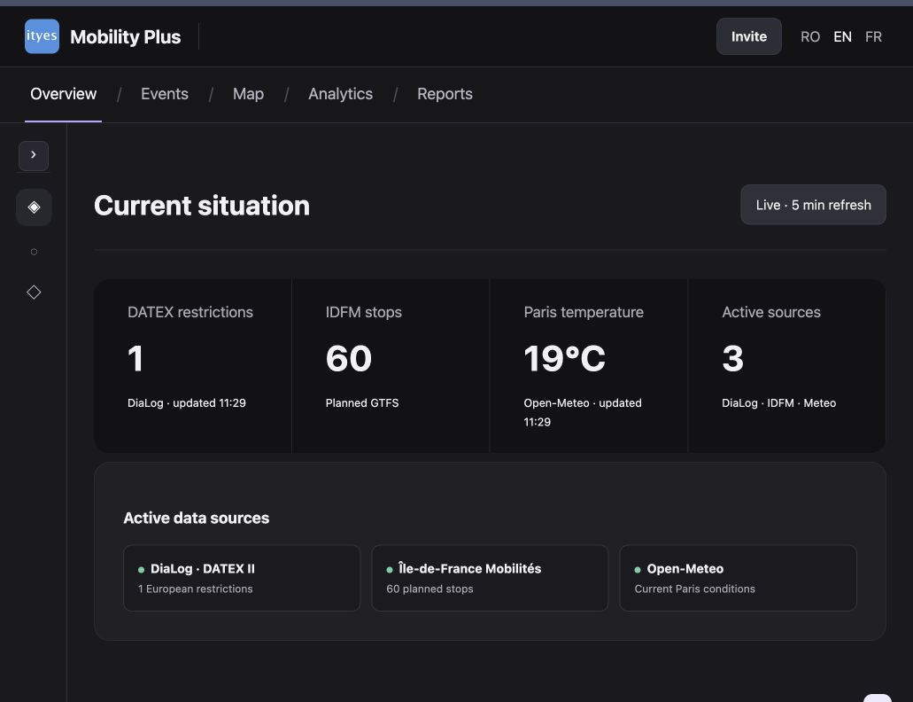
One operational view of mobility data
Mobility Plus combines trusted public mobility and infrastructure sources in a single map-based interface. Operators can see live road restrictions, public transport networks, weather context and operational events without switching between disconnected tools.
The workspace keeps a clear distinction between live source data and demonstration scenarios, helping teams understand the provenance and status of the information they are using.
Key capabilities
A modular foundation for informed, traceable mobility operations.
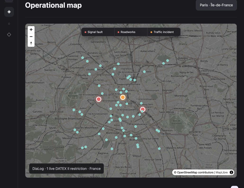
Interactive operational map
A unified geographic view of road restrictions, transport networks and mobility context.
Live road restrictions
Public DATEX II data can be displayed alongside the operational picture.
Public transport visualisation
GTFS datasets make public transport networks visible in the same workspace.
Weather context
Weather data provides additional context for operational assessment.
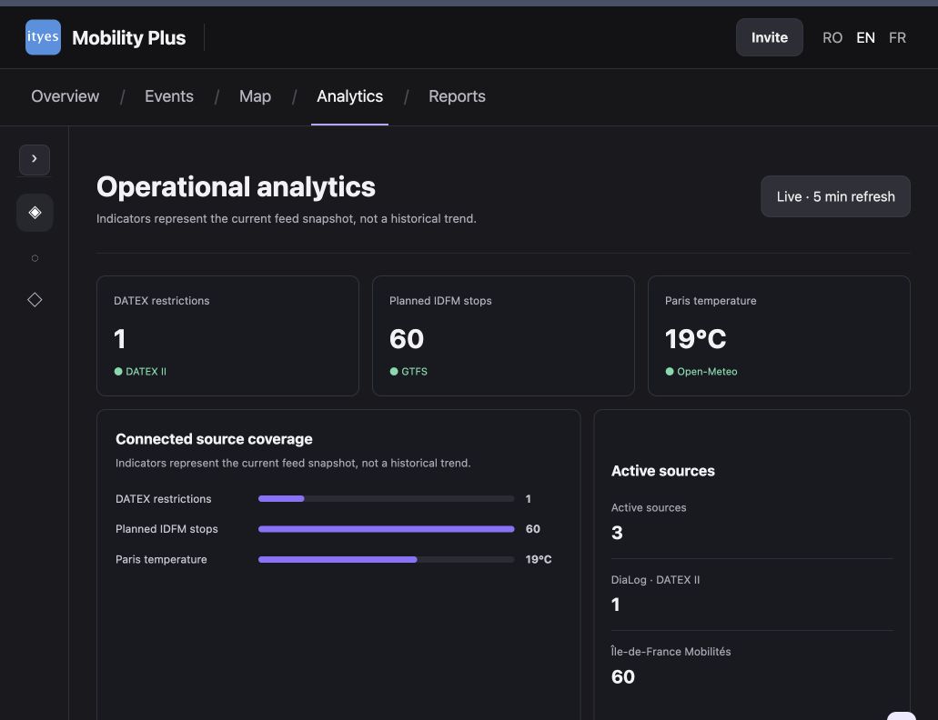
Analytics and reports
Operational dashboards support the review of events, trends and structured reports.
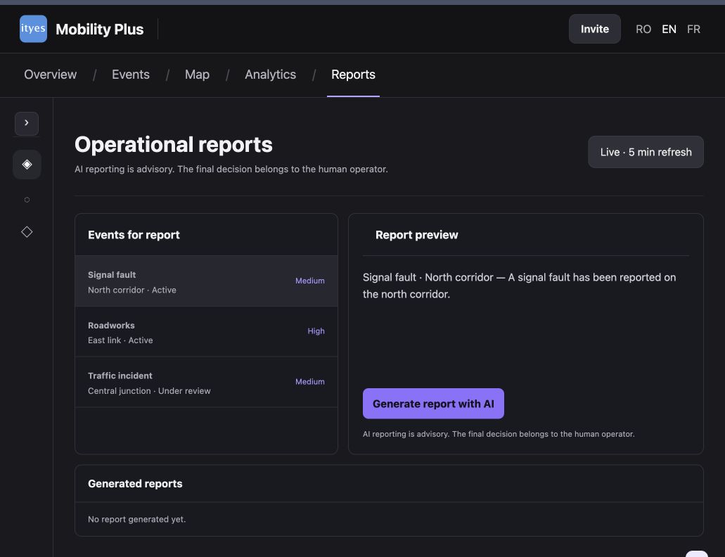
AI-assisted workflows
AI can help analyse incidents and prepare structured operational reports while people retain decision control.
Built to integrate and evolve
Mobility Plus uses a modular, containerised architecture built with Node.js, Docker, MapLibre, OpenStreetMap, DATEX II, GTFS, Open-Meteo and OpenAI. It can evolve from a demonstrator into a customer-specific operational platform by connecting additional transport, infrastructure and enterprise systems.
Production deployments are tailored to each organisation’s infrastructure, governance and operational requirements, while preserving data traceability and operational transparency.